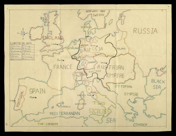
The Map of Europe, 1815
خريطة أوروبا عام 1815 مرسومة بخط اليد، وجدت ضمن أرشيف سري نسيبة تعود ملكيتها لوالده أنور، تظهر عليها بعض الدول الأوروبية مثل فرنسا واسبانيا والبرتغال وانجلترا وبولندا، إضافة للبحر الأبيض المتوسط والبحر الأسود. ;Found in the Sari Nusseibeh Collection, this document shows a drawing of the map of Europe drawn in 1815 featuring some European countries like France, Spain, Portugal, England and Poland in addition to the Mediterranean Sea and the Black Sea.
Tags
TYPE
LOCATION
More details
Format
Records (Documents)
Source of Description
Ibreigeth, Razan. "The Anwar Nusseibeh Collection". Archival Inventory. June 2021. The Palestinian Museum Digital Archive.
Help us refine the information, suggest a change in the content of this item
Suggest a Change
