0101.01.0008
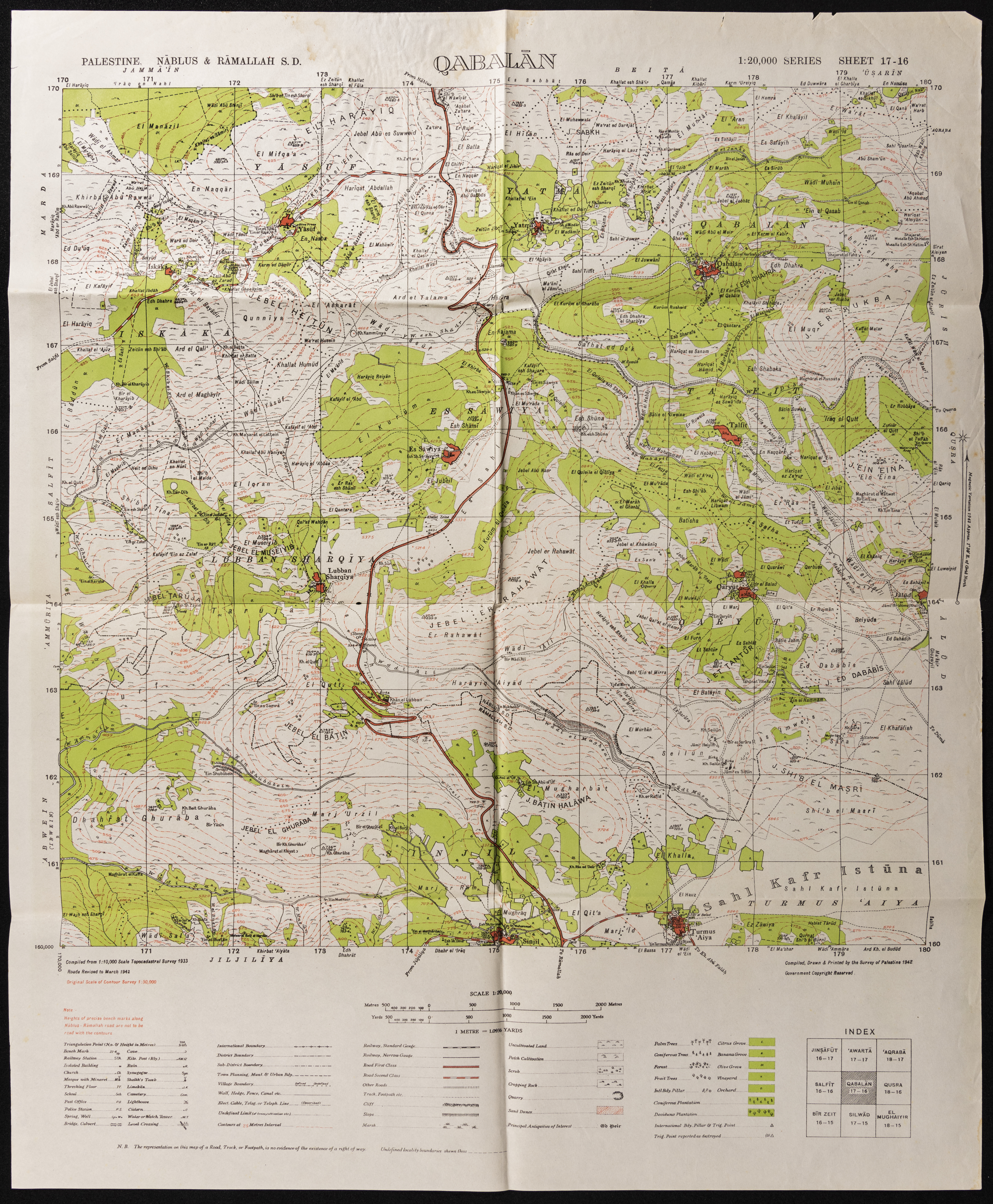
Map of Qabalan, Nablus
A map showing borders, roads, sacred places, topographical nature of hills, plains, slopes, natural landscape, and planting types. The map was published during the British Mandate, and was modified by the Maps and Images Service of the Israeli Military Forces in the 1940s.
Date created
Tags
TYPE
LOCATION
More details
Format
Maps
Physical status
medium
Help us refine the information, suggest a change in the content of this item
Suggest a Change0101.01.0008
Map of Qabalan, Nablus
This photo may contain violent content