0101.01.0026
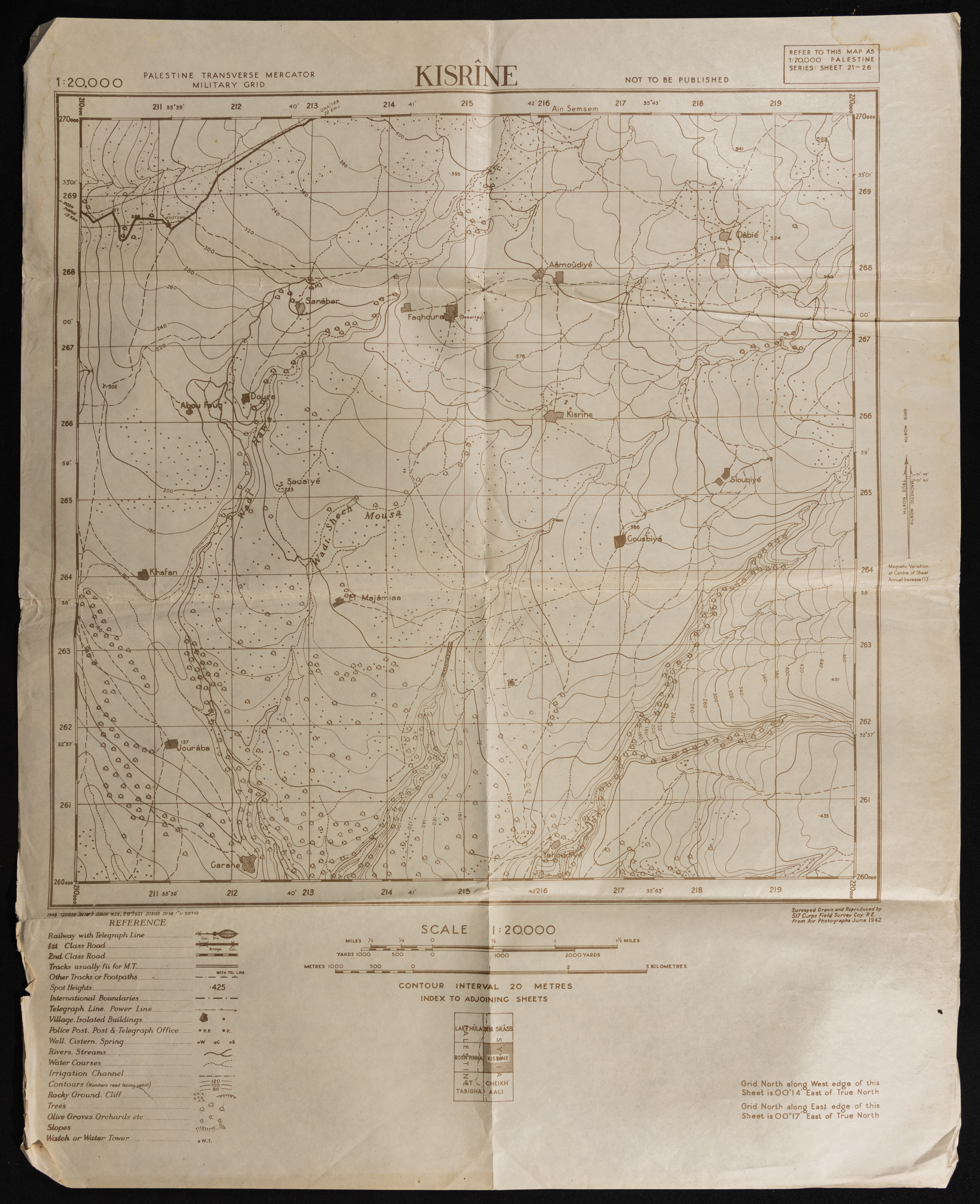
Map of Kasreen
A Military map showing all kinds of roads, water channels, post offices, police and topographical nature. The map was published during the British Mandate, and was modified by the Maps and Images Service of the Israeli Military Forces in the 1940s. Written on the top of the map is the phrae "Not for Publication"
Date modified
Tags
TYPE
LOCATION
More details
Format
Maps
Physical status
medium
Help us refine the information, suggest a change in the content of this item
Suggest a Change0101.01.0026
Map of Kasreen
This photo may contain violent content