0294.01.0003
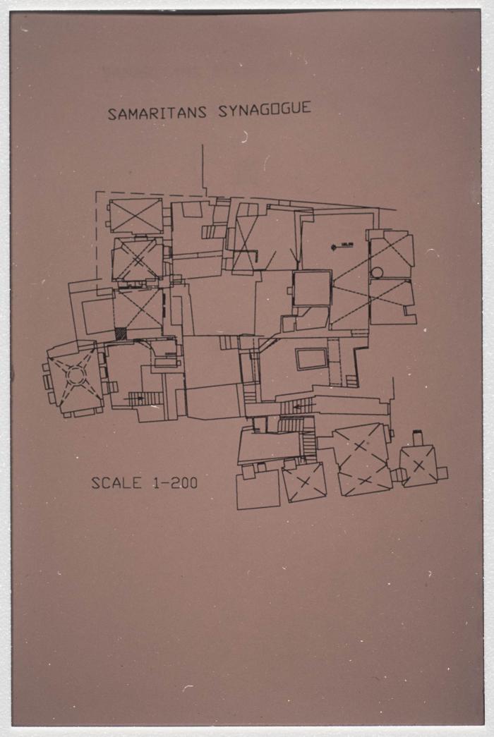
A Map of the Samaritan Temple on the top of Mount Gerizim, Nablus
Found in Ibrahim al-Fanny's archive, this is a map of the Samaritan temple located on top of Mount Gerizim south of the Israeli-occupied city of Nablus.
Date created
Tags
Topics
TYPE
More details
Format
Color slides
Source of Description
Jubeh, Baha (Palestinian Museum Registrar), recorded interview with PMDA researcher Samar Ozrail, 2 March 2020, the Palestinian Museum Digital Archive.
Physical status
medium
Help us refine the information, suggest a change in the content of this item
Suggest a Change0294.01.0003

