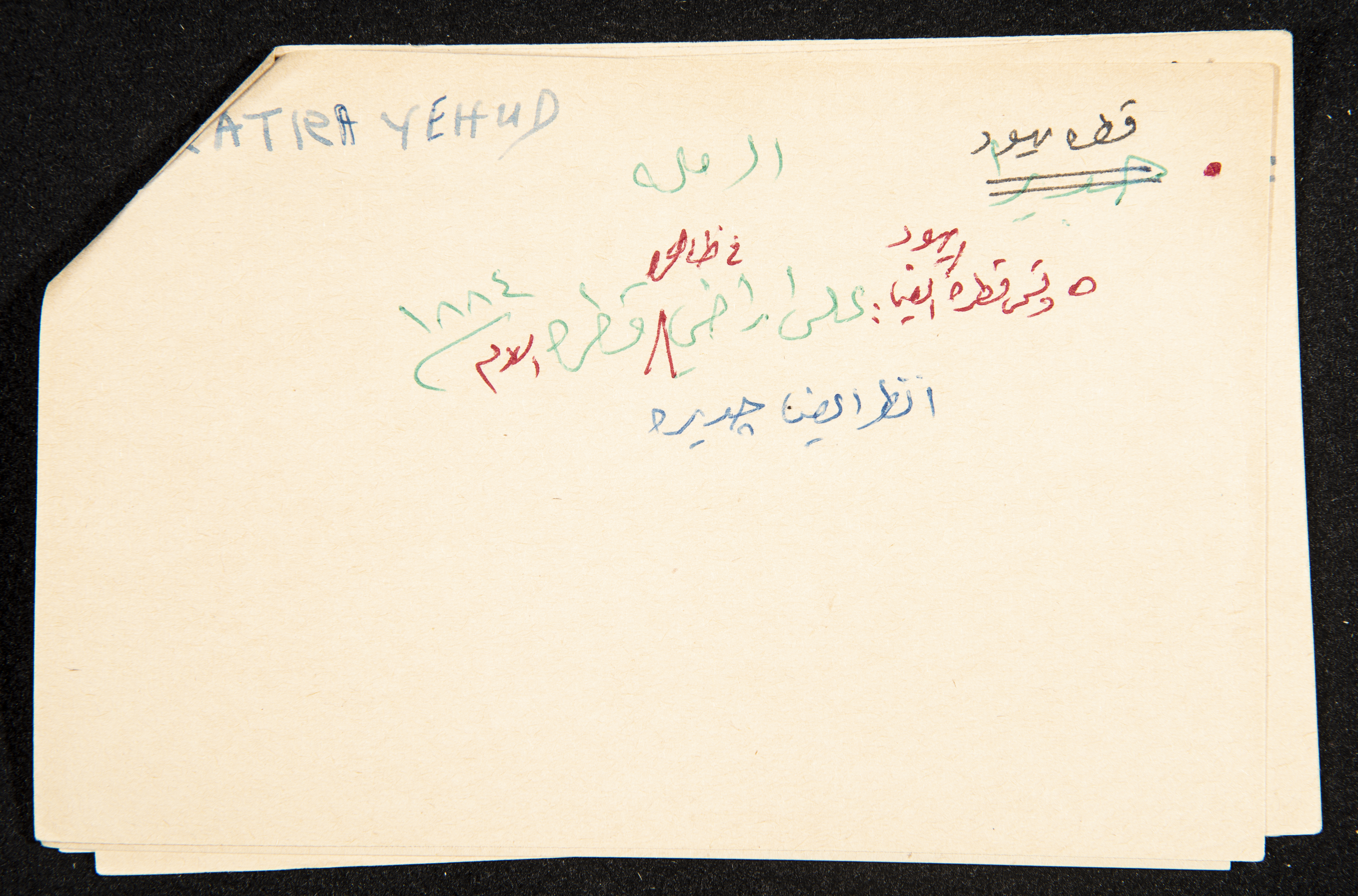
"Qatra", ʿĀdel az-Zawaty, a Paper Clipping
Handwritten in Arabic, this paper clipping documents the name of "Qatra/Qatra Islam", a depopulated village, where the "Gadira", "Kadrun", and "Kasvot" colonies were established, fifteen kilometres southwest of al-Ramleh, thirty-one kilometres southeast of Jaffa, fifty-two kilometres from Gaza, and three kilometres northeast of Aqir Military Airport. Therefore, the village had a strategic location, also for being on the Gaza-Jaffa Road and for being connected with other villages like Bashshit, Shahma, Maghar, al-Mukhayzin, Aqir, and al-Masmiyya. Set on the Canaanite village of "Ba'la", "Sadrun" in Roman times, the village is set at fifty metres above sea level in the Central Coastal Plain where Wadi as-Sarar passes one kilometre to the north. Landmarks in the village include cement and mudbrick rectangular houses spreading to the west and the south to reach twenty-six dunums in 1945. The village also features small shops, a mosque, a primary school for boys and girls, and a hill rich with ruins, ground foundations, antiquities, and mosaic.
Date created
Tags
Topics
TYPE
LOCATION
More details
Format
Source of Description
"قطرة (قرية)". الموسوعة الفلسطينية. 5/10/2020 https://www.palestinapedia.net/قطرة-قرية/
Physical status
medium
Help us refine the information, suggest a change in the content of this item
Suggest a Change"Qatra", ʿĀdel az-Zawaty, a Paper Clipping
This photo may contain violent content