"El-Na'ane", ʿĀdel az-Zawaty, a Paper Clipping
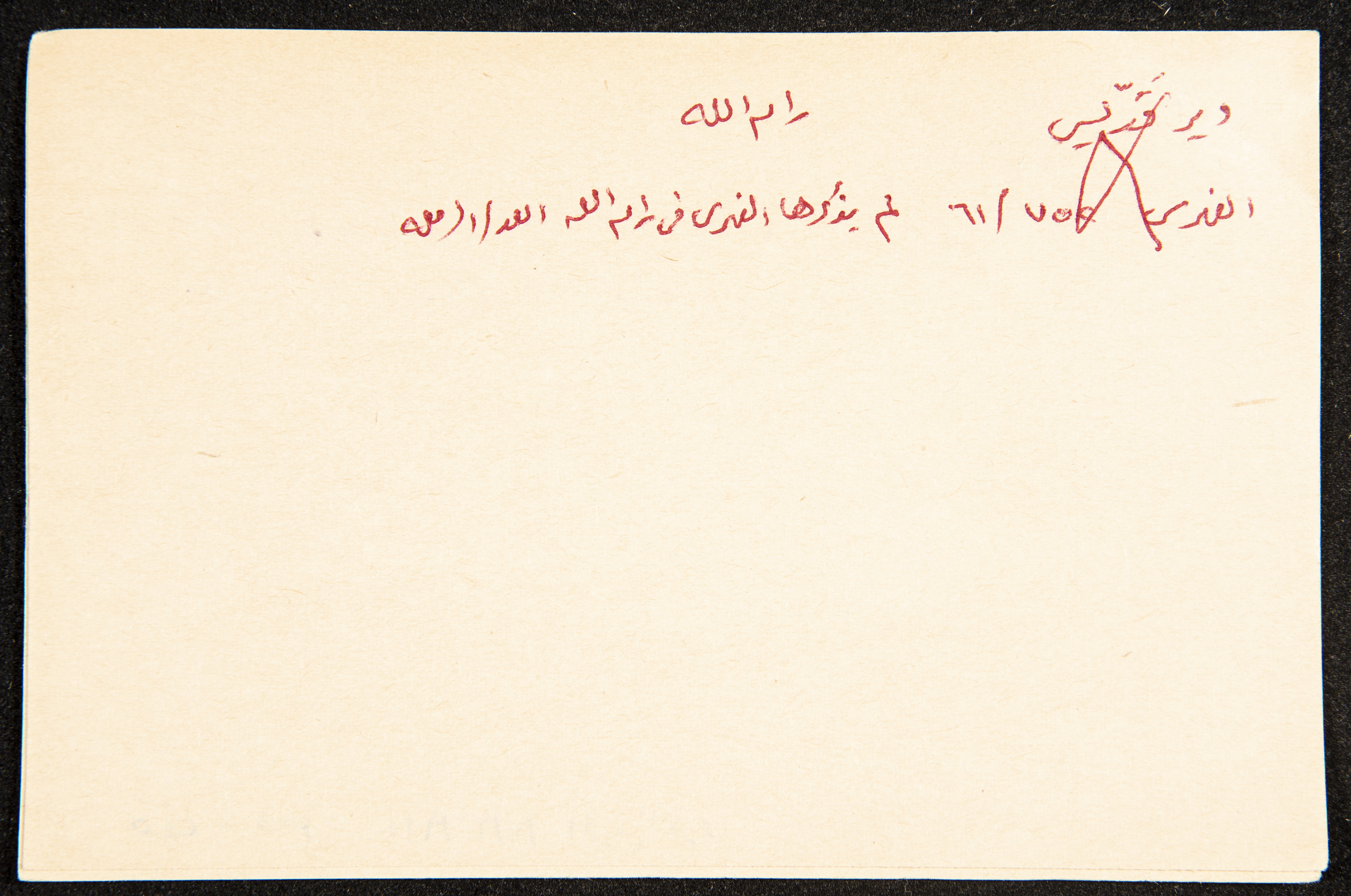
Handwritten in Arabic, this paper clipping documents the name of "el-Na'ane", a village eight kilometres southwest of al-Ramleh, the railway of which located at 29.5 kilometres from the Jerusalem-Jaffa railway, and the Israelis then; upon its invasion in 1948, established a railway connecting it to Beʾr as-Sabeʿ. Set on the Coastal Plain at fifty metres above sea level, the village is of historian importance for its proximity to al-Malat Hill, where the Canaanite village of "Jabthun" was set to the south, featuring ruins, pottery pieces, and a deserted pool. Other than its mudbrick houses, its landmarks include a small market, two mosques, a primary school established in 1947/48 housing 208 students, and a well southwest of the village providing drinking water. The village was depopulated and levelled in 1948 in preparation for the establishment of the "Ramot Ma'ir (reaching the village of Aqir) ", Mazkrit Batya", "an-Na'ani (in 1930), and "Kefar Bilu (in 1932) colonies. With a total of 16,120 dunums, 2, 375 of which Jews farmed and planted during the British Mandate, 529 of which roads and valleys consumed, and 5, 832 Jews confiscated, the village is known for the fertility of its soil and for the plantation of grains, watermelon, and citrus.
Date created
Tags
Topics
TYPE
LOCATION
More details
Format
Physical status
medium
Help us refine the information, suggest a change in the content of this item
Suggest a Change"El-Na'ane", ʿĀdel az-Zawaty, a Paper Clipping
This photo may contain violent content